


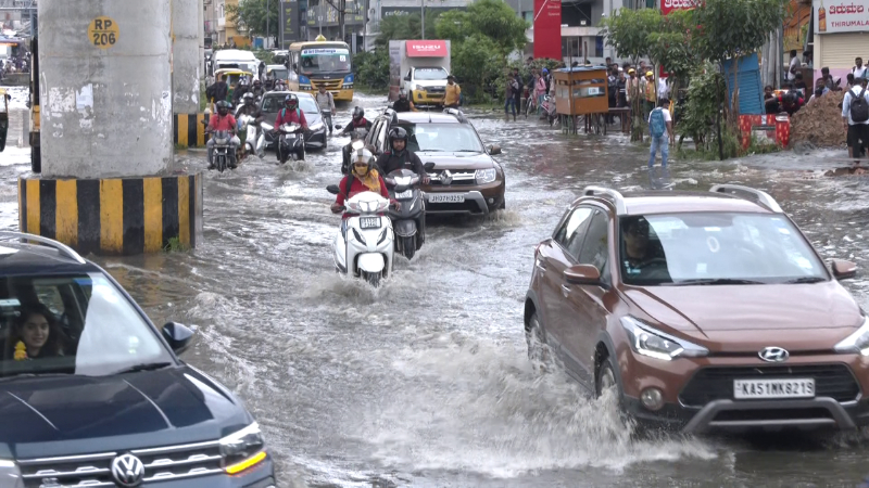
BENGALURU: A mere drizzle in the city is enough to cause havoc for motorists and pedestrians. If there is heavy rainfall, the roads get inundated, leading to flood-like situation. After Deputy CM D K Shivakumar pulled up the officials, the Bruhat Bengaluru Mahanagara Palike (BBMP) disaster management department is currently preparing a list areas prone to flooding.


As per the BBMP’s analysis, even 20mm of rainfall can cause flooding in some areas. It has now listed out 140 areas in Bengaluru which are prone to flooding.
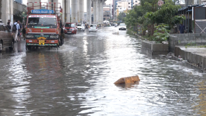

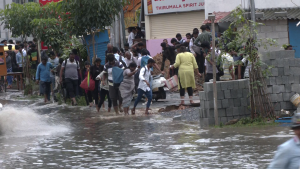
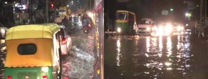
Monday’s heavy rain in Bengaluru caused waterlogging in residential areas, flooding of homes and created havoc on the roads. Now, the BBMP has woken up and started taking action.

The natural disaster department has submitted a report to the BBMP stating that several areas in Bengaluru will experience flooding. Over 140 areas were identified as being in the danger zone. The BBMP is taking precautions to prevent flooding.
There are ten flood-prone areas including Bellandur, Munenakolalu, Sai Layout, Rainbow Layout, K R Puram, Mahadevapura, Bommanahalli, HSR Layout, Agrahara Dasarahalli and Yelahanka.


There are 20 flood-prone areas in the East Zone, six in the West Zone, 58 areas in Mahadevapura Zone, 28 in Bommanahalli, 23 in RR Nagar, 11 localities in Yelahanka and nine areas in Dasarahalli.
The major causes of flooding include encroachment of rajakaluves, lakes, closed drains, silt in lakes and blockage of drains, which leads to waterlogging and flooding.